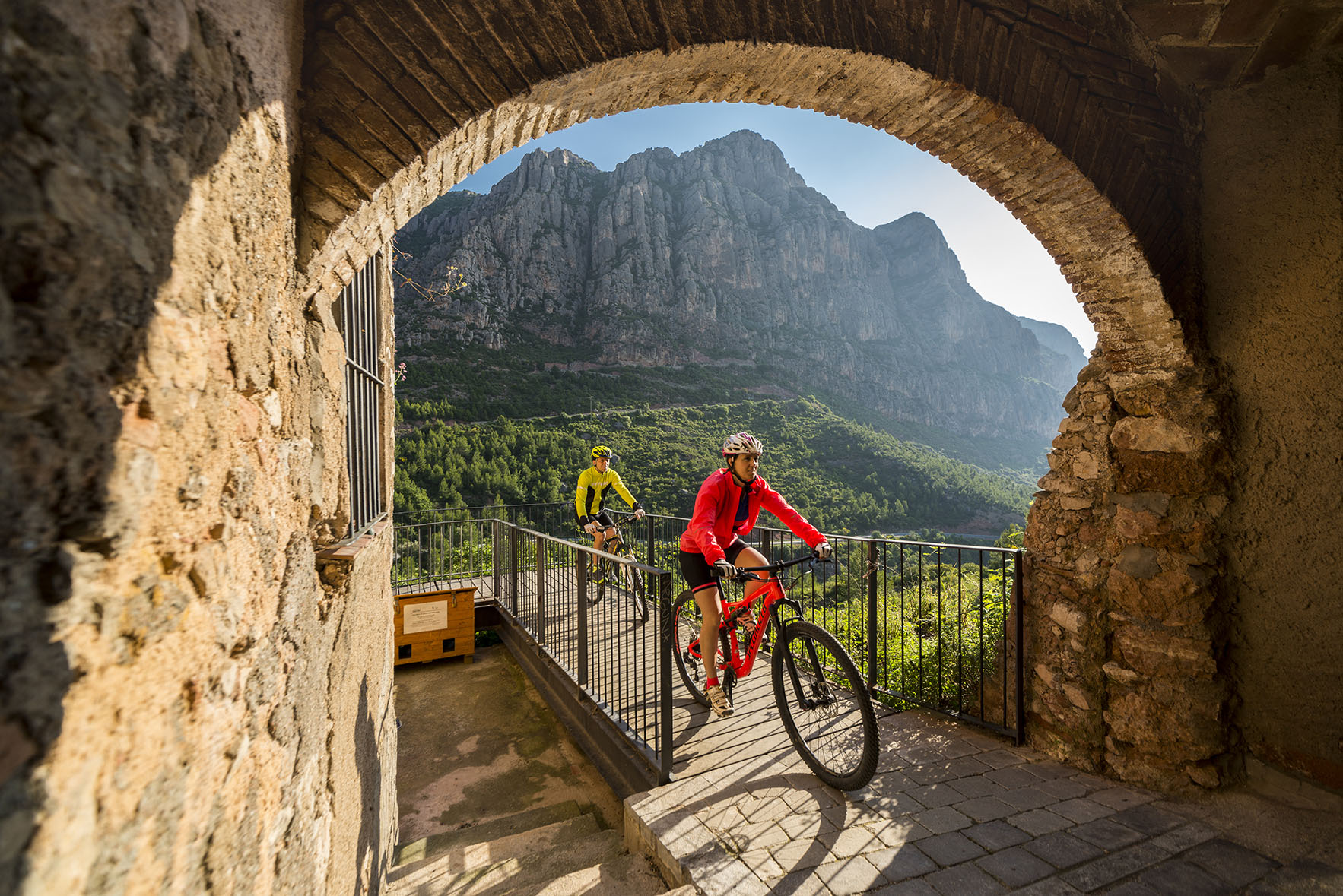
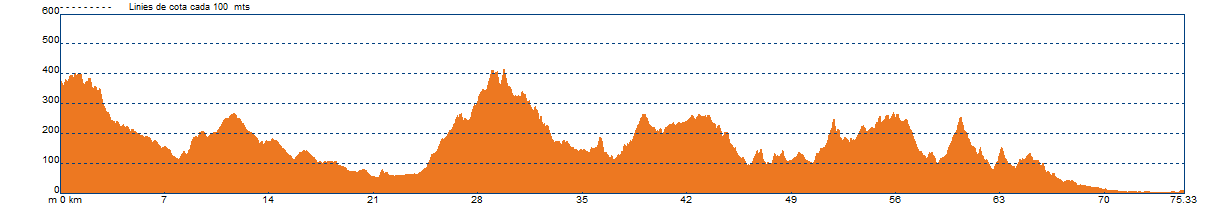
EPO by bike. From Collbató to Corbera and ending in Viladecans
We will depart from Collbató heading towards Esparreguera, passing through the foothills of the Serralada Prelitoral. Once we cross the town of Esparreguera heading west, we enter the Depressió Prelitorial near Anoia, without actually reaching the Anoia plain. However, part of its landscape will still influence us as we cross the cereal plateaus above Abrera, heading towards Sant Esteve de Sesrovires.
The streams and brooks, with their lush and tender vegetation, carve through these small plateaus. We will follow a beautiful example along the Torrent de Sitges in Sant Esteve de Sesrovires, and from there, we will begin a gentle descent towards the foothills where the Anoia River directs its waters to the Llobregat: the red Serra de l'Altaix in Martorell.
We will cross the Anoia River and head towards the Serralada Litoral through Castellví de Rosanes, heading for Corbera de Llobregat. The landscape changes completely, and now, after leaving the vineyards of the Anoia valley, the forest cover becomes continuous all the way to the town of Viladecans. In the Vall del Llobregat, this mountain range is called the Muntanyes d'Ordal, and further west, touching the Penedès, it becomes the Serra del Garraf.
We will ascend and descend passes that separate the villages of Castellví de Rosanes, Corbera de Llobregat, Pallejà, La Palma de Cervelló, Cervelló, Torrelles de Llobregat, Sant Climent, and finally Viladecans. Red cliffs in Corbera; spectacular views from the lookout over Pallejà, the jewel of Santa Maria de Cervelló, and a series of heritage sites scatter these Muntanyes d'Ordal, which face the Llobregat River.
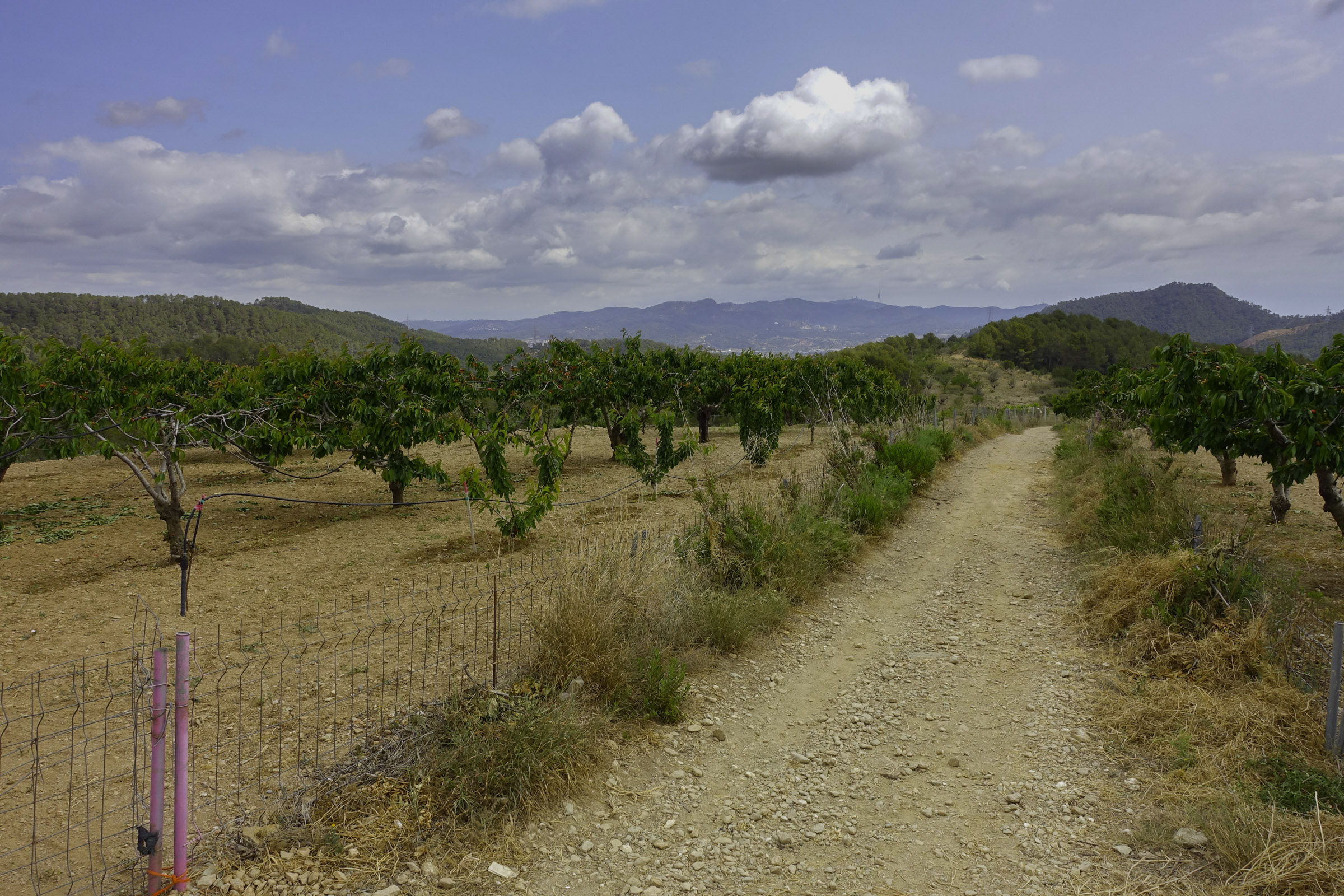
Occasionally, we will come across small areas with orchards and fruit trees near the brooks of Corbera and La Palma. As we pass through Torrelles and Sant Climent, we will see remnants of cherry orchards on the slopes near l'ermita de Sant Ramón, which once covered the area. Within the forest, we will notice dry stone walls and terraced land that tell the story of crop cultivation, particularly vineyards, before the white pine forest overtakes it all.
We will also notice the unique characteristics of the soil beneath our feet. Observe how we move from the plain with brown and sedimentary pebbles to the mountain with white karstic stones, red sandstone and conglomerates, or greyish limestone and schists.
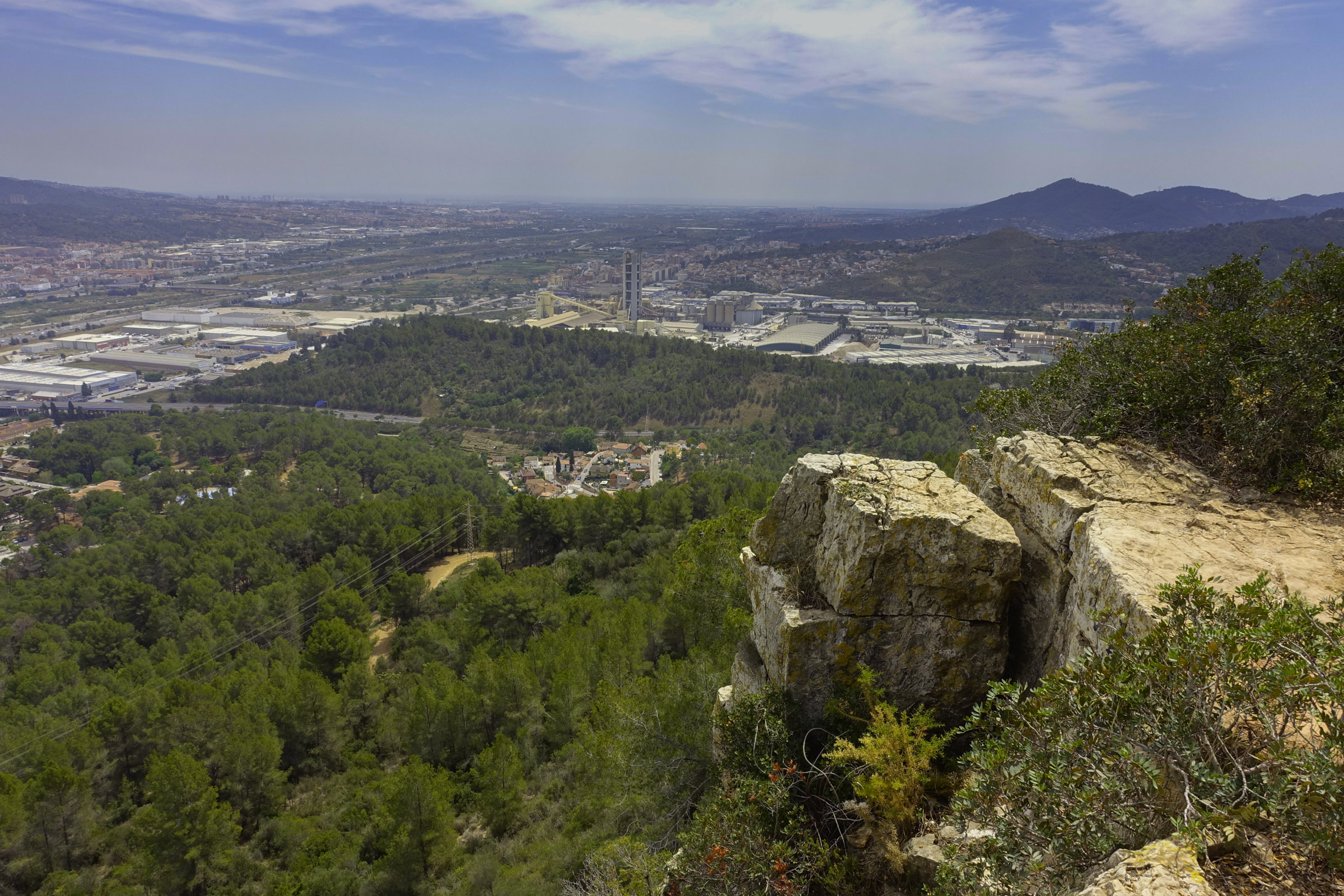
We reach Viladecans, at the foot of the Litoral Mountain Range with views of the sea, and we still have the third geographical unit of the route to discover: la Plana Deltaica del Llobregat.
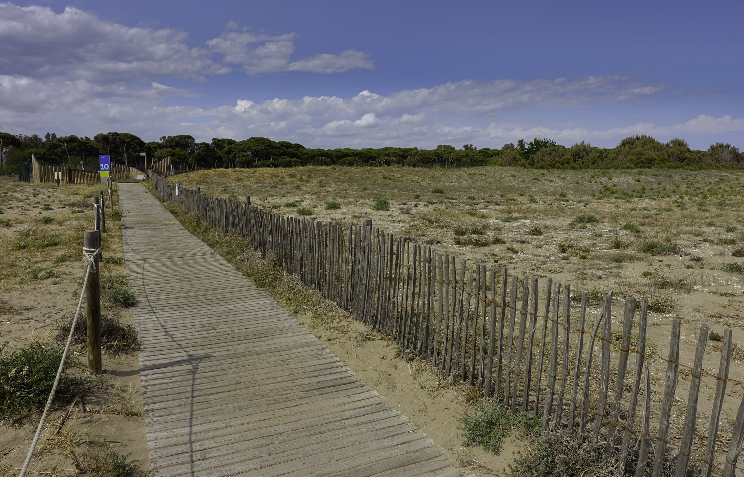
Now, on the camí de les Filipines, we will cross the entire flat land that produces vegetables until we reach the coastal pine forest. On the other side of this stretch of stone pines, we will find the dunes and the beach.
Technical sheet
Points of interest


ROUTE
- It is recommended to divide the route into two or three stages depending on your physical level.
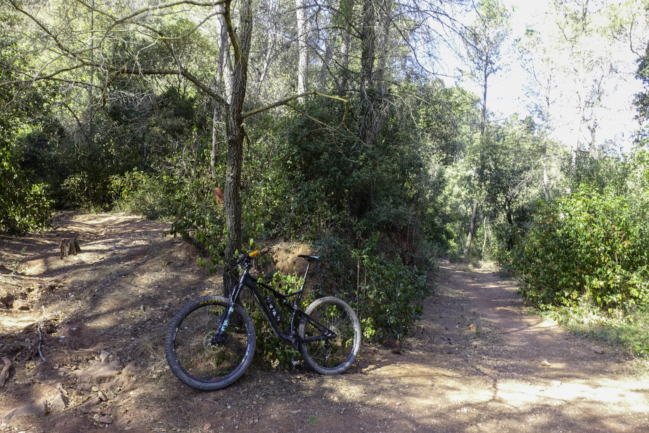
- We will mainly follow tracks, with a smaller percentage of urban paved roads and paths.
- Some uphill paths are not suitable for cycling.
- In the towns, you may need to go against the direction of some streets. Be cautious.
- There are steep climbs, but they are short.
- In Corbera, you may encounter a short section of the brook with dense reeds. In this case, take the paved road above it and continue from there.
- If you have an overall view of the track, you may find possible shortcuts.
- The flag markers will guide you on the position and direction to follow. If there are no markers at a crossroads, follow the main track and check the warnings on the mobile track.
- It is better to have the route downloaded offline.
- Even though we will encounter trail markings such as GR or SL, don’t worry—it's better to follow the track and the flag markers. Camins del Baix Llobregat. Eix de Ponent (EPO).
- • Save as much battery as possible on the mobile device you're using for navigation.
WATER
- Fountains are available in the towns you pass through.
PRECAUTIONS
- Expect vehicle traffic in urban areas as well as some forest tracks.
- Pace yourself and conserve energy.
- Don’t forget to eat and, especially, drink.
- Respect private property and the natural environment.
- Do not leave trash along the way.
- Be cautious of flood-prone crossings in brooks if it has rained (Masquefa, Corbera, Cervelló).
- There are steep descents where you will need to control your braking.
WEATHER
- Check the weather forecast.
- Gloomy days may detract from the experience.
MATERIAL
- Comfortable and season-appropriate cycling clothing.
- Don’t forget safety gear: helmet and gloves.
- Basic spare parts, especially for fixing flats.
- Camera and access to a map to help you know where you are in case you need to find a shortcut.
OTHER EQUIPMENT
- There are picnic areas in Sant Esteve de Sesrovires: Parc Canals and Nubiola; in Martorell, Parc Forestal de Can Cases.
- Upon entering each town, you will find a route information board.
- Along the way, there are poles with flags indicating your location, nearby points, and possible route variations.