EPI on foot. From Corbera to Castelldefels
REMINDER: It is recommended to divide the journey into several stages according to your physical level. Keep in mind that you will be walking at 4 km/h, and for every 300 m of ascent, you should add one more hour of walking.
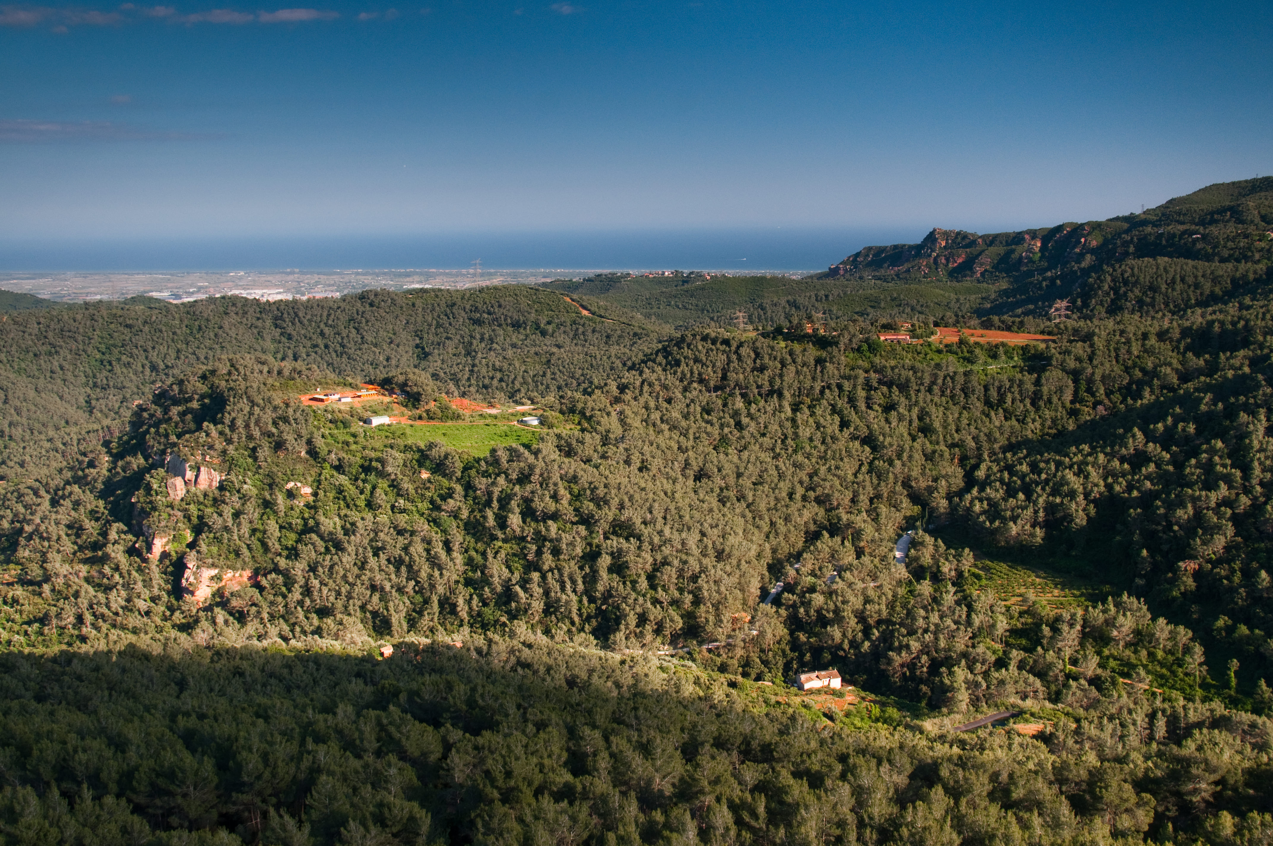
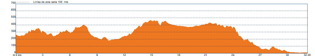
We will leave from Corbera. The agro-forest landscape at the beginning changes completely, and now, once we leave behind the vineyards of the Anoia valley, the forest cover becomes continuous all the way to the village of Castelldefels. In the Llobregat Valley, this mountain range is known as the Muntanyes d'Ordal, and further west, bordering the Penedès and extending to the sea, it is the Serra del Garraf.
This forest cover slightly changes in shaded areas and streams, where oaks, holm oaks, and other deciduous trees become more prominent. Here, the undergrowth of rosemary, mastic, and kermes oak is replaced by brambles.
We will cross urbanised areas in Corbera, Vallirana, and Begues, separated by forests of white pine at different stages of development due to past wildfires.
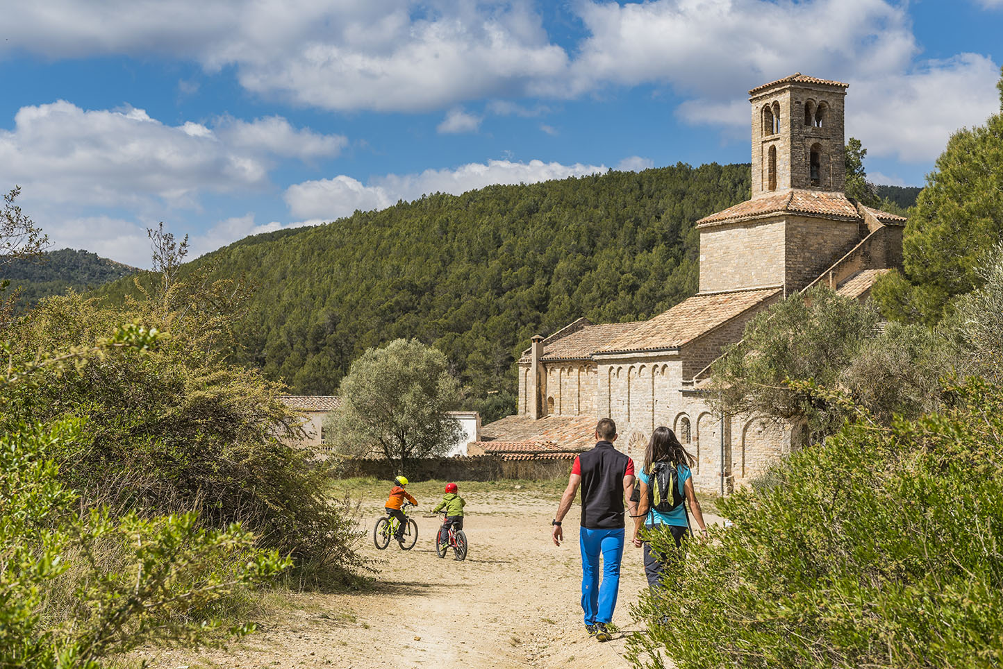
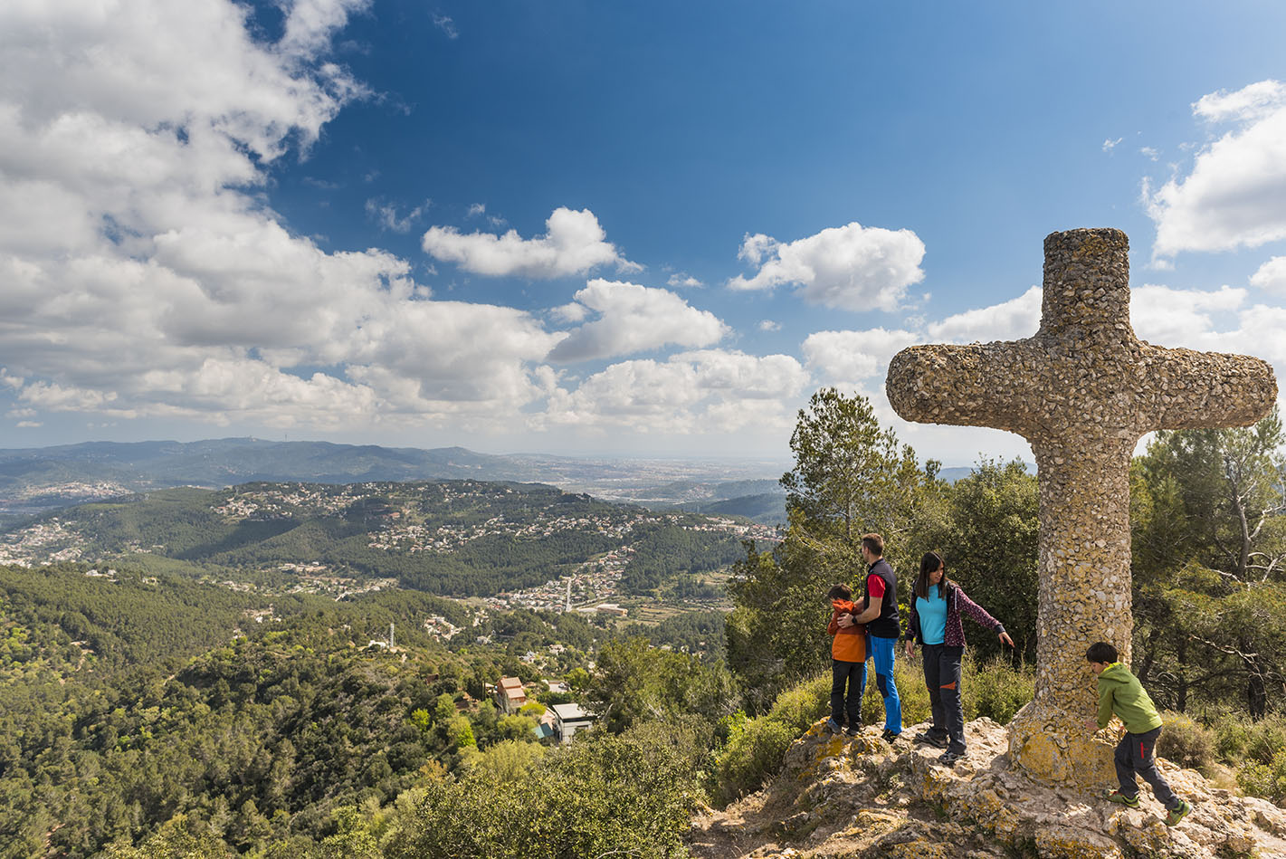
In Corbera, we will pass through the old core of Castell and l'església de Santa Maria. Then, we will arrive at the beautiful site of the Monestir de Sant Ponç, before heading up past the Font Freda to Coll Verdaguer, above Vallirana. We will descend to the village and climb back up the entire Can Bogunyà valley and the Vall d'Arús, once a breeding ground for the booted eagle, to reach the Penya del Moro (467 m), where we will enjoy views of the territories of Sant Climent, Torrelles, and Begues.
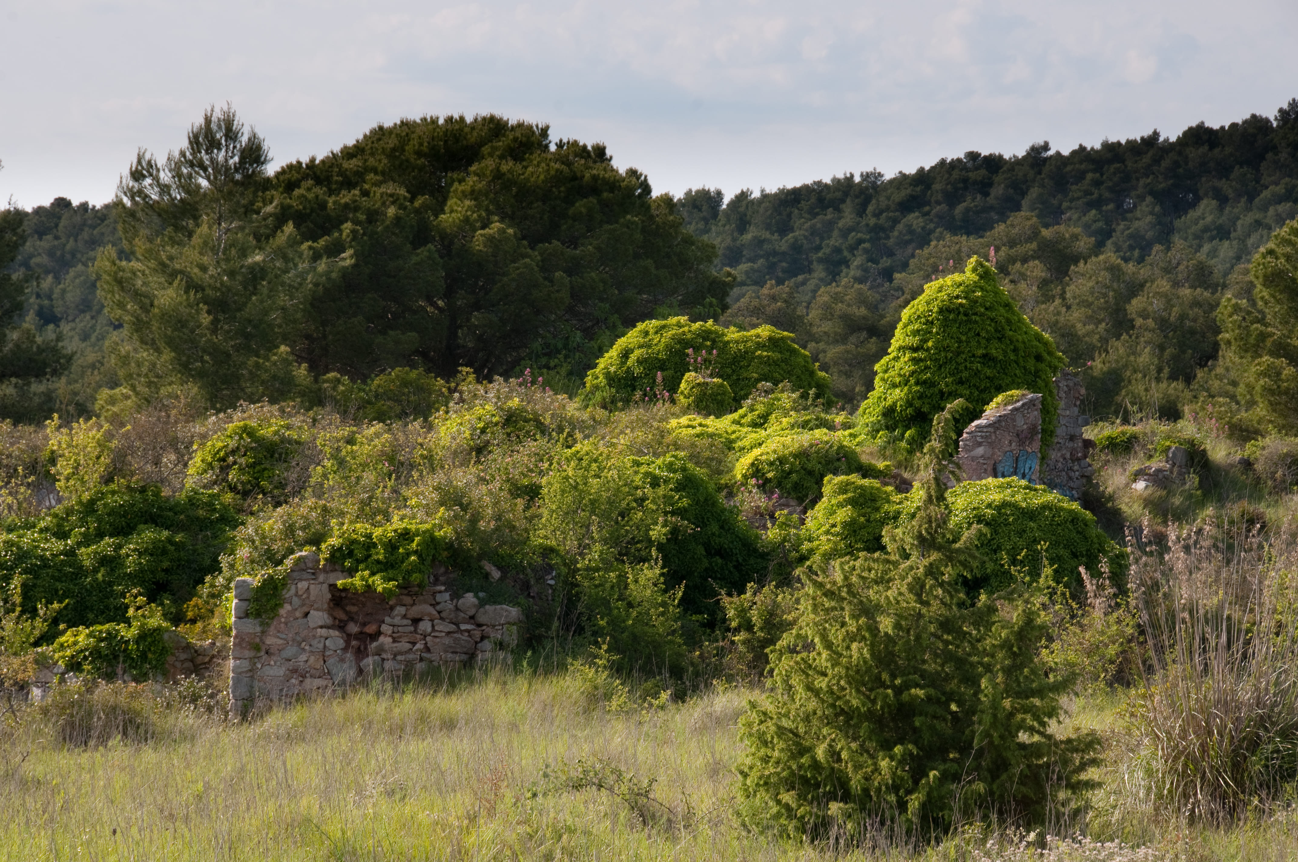
We will descend to the agricultural plain of Begues and, crossing the village and passing by l'església de Sant Cristòfol, head towards la Clota (a ruined architectural site, dating from the 14th century). From the Coll de la Clota, we will descend to La Sentiu.
If you are on a mountain bike (BTT), we will take the main track. A long and fast descent through the shaded area of the Serra de Perers, passing by some ruined farmhouses. This is the track known as the "Camí dels Penitents."
For those of us on FOOT, we will take a small trail, the GR 92, which used to connect the area of La Clota with Eramprunyà and Bruguers, without having to take the detour around the Puig de la Desfeta (516 m).
We are at the head of the Vall de la Sentiu. Once agriculture disappeared, the pines began to colonise the area, and later, fires caused the shrubs to become the most abundant vegetation. The young pine forests, like the ones we’ve crossed, are gradually recovering the area, surpassing the shrubs.
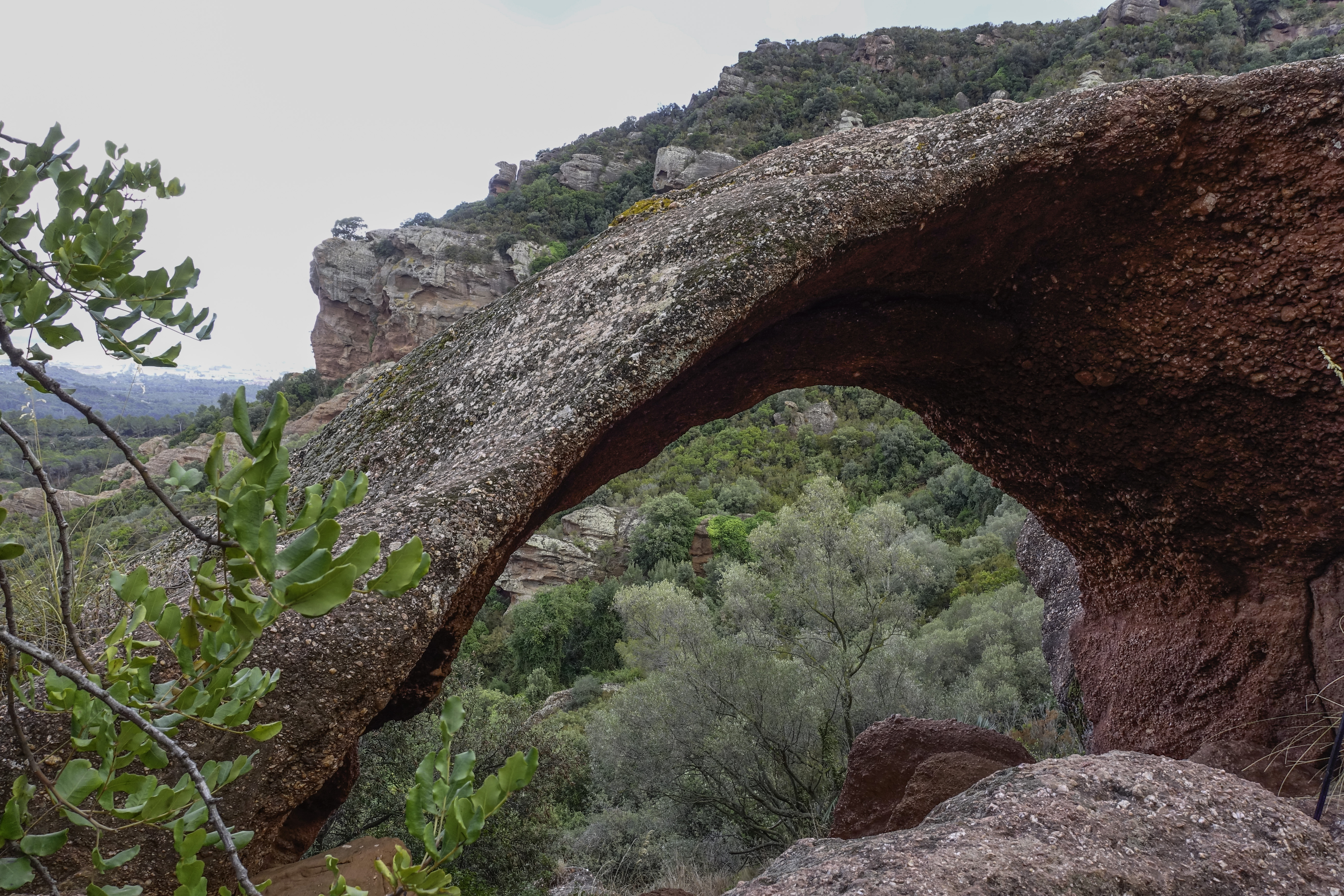
On foot, after skirting around the Castell d'Eramprunyà, a steep descent near the "rock with a hole" leads us to l'ermita de Bruguers, where we take the comfortable track that descends towards La Sentiu, where we will meet again with the mountain bike route.
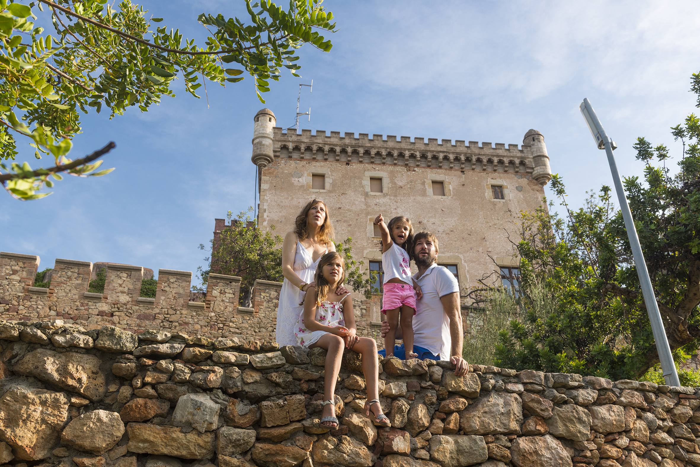
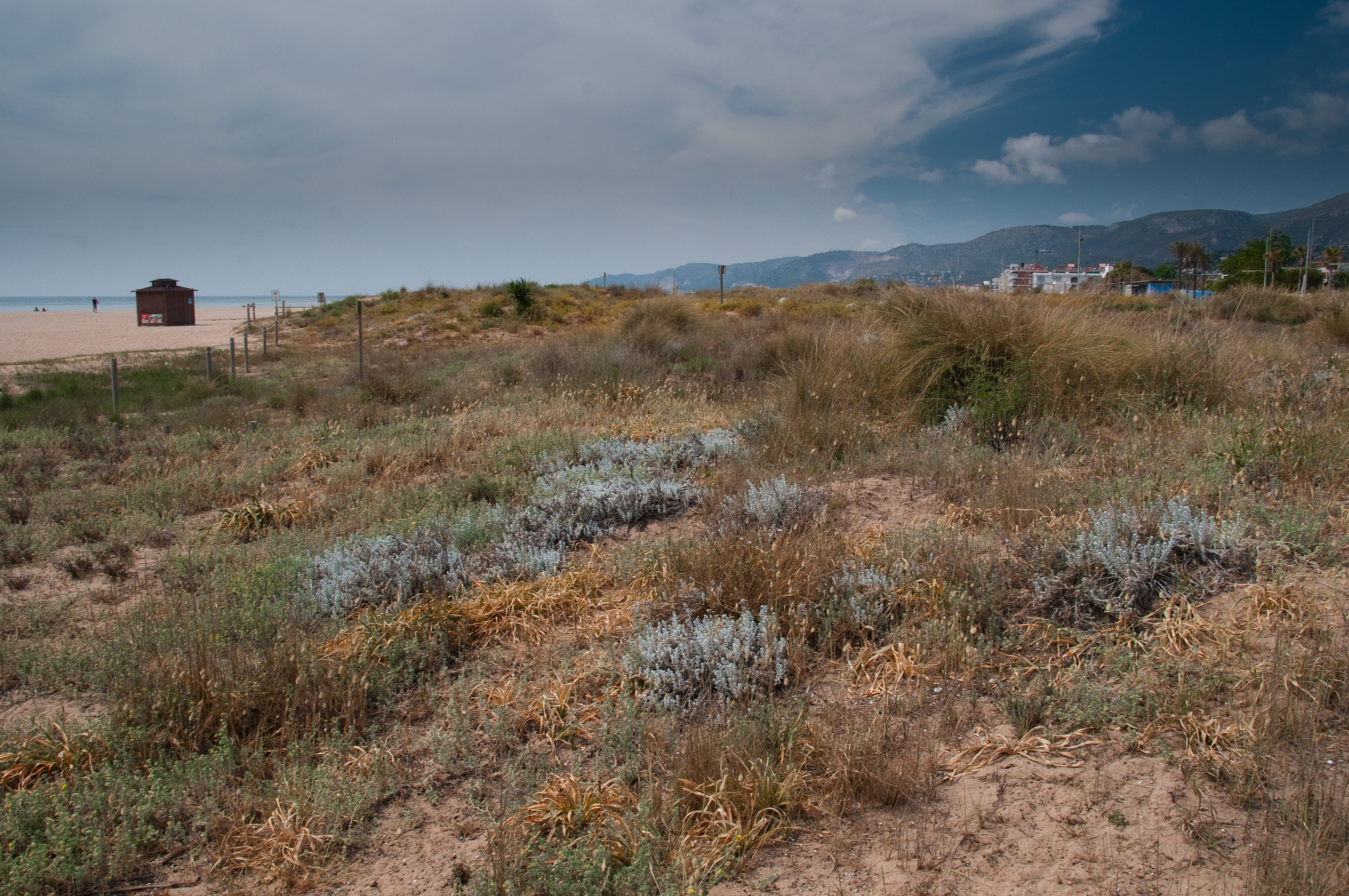
Now, through a patch of disturbed pine forest, we will head towards el castell de Castelldefels. We will then descend, crossing the village, towards the plain, where any agricultural traces of this delta corner have disappeared, except for a few stone pines. Surrounded by residential areas and passing the C-32 and C-31 roads, we will arrive at the Parc del Mar at the Platja de la Pineda.
Technical sheet
Points of interest


ROUTE
- It is recommended to divide the journey into several stages according to your physical level. Keep in mind that you will be walking at 4 km/h, and for every 300 m of ascent, you should add one more hour of walking.
- The section from Monistrol to Corbera should be done via the EPO route, ending in Viladecans. Once you reach Corbera, select the EPI route to end in Castelldefels.
- You will mainly travel on tracks, paths, and small trails, with a smaller percentage on urban asphalted sections.
- In Vallirana and Begues, there are different variants depending on whether you're walking or on a mountain bike (BTT). Be aware that the BTT variants go along easier tracks, while the walking variants go up or down non-cyclable trails.
- The flags will guide you on the direction and path to follow. If you come to an intersection without a flag, continue on the main track and check the track alerts on your phone.
- It's best to have the route downloaded offline.
- Although you will encounter painted trail signs like GR or SL, don't worry; it’s better to follow the track and the flags. Camins del Baix Llobregat. Eix de Ponent (EPO)
- Save as much battery as possible on your phone when navigating.
WATER
- Fountains are available in the villages you pass through.
PRECAUTIONS
- Pace yourself. There are steep uphill trails.
- Pay attention to a small section of downhill trail towards the village of Vallirana and another near Begues towards Castell d'Eramprunyà and the Ermita de Bruguers.
- There is motor vehicle traffic in the urban areas and also on some forest tracks.
- Don't forget to eat and, most importantly, drink.
- Respect private property and the natural environment.
- Do not leave rubbish along the path.
- Be cautious of flood-prone fords if it has rained (Corbera, La Sentiu).
WEATHER
- Check the weather forecast.
- Dull, cloudy days can spoil the outing.
EQUIPMENT
- Comfortable footwear and suitable clothing for the time of year.
- Sunscreen in summer.
- A small first-aid kit for blisters and chafing wounds.
- Trekking poles can be very helpful.
- A camera and access to a map in case you need to find a shortcut.
OTHER EQUIPMENT
- When entering each municipality, you will find a sign with the route’s location.
- Along the way, there are posts with flags that indicate your location, nearby points, and possible variants.