EPI by bike. From Corbera to Castelldefels
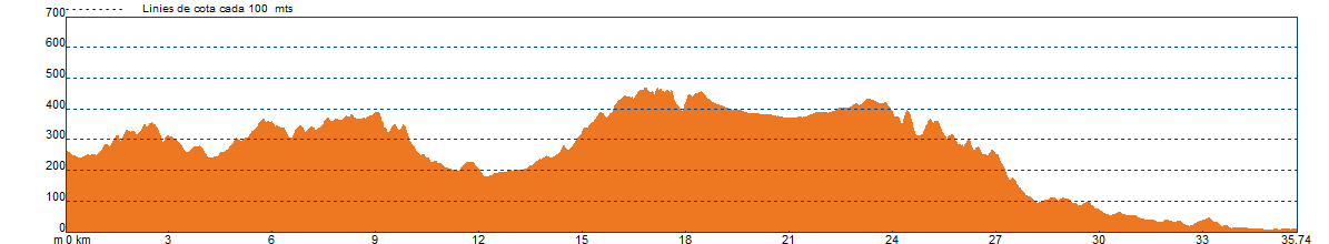
REMEMBER: It is recommended to divide the route into stages depending on your physical fitness level.
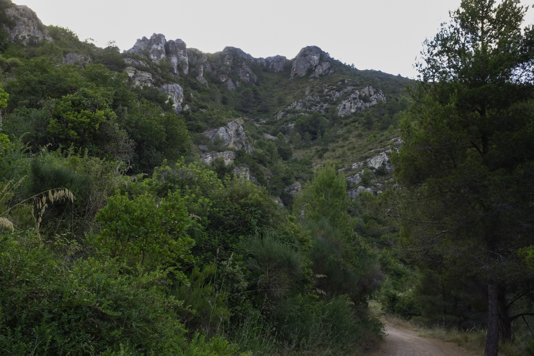
We will depart from Corbera. The agro-forestry landscape at the beginning changes completely, and now, once we leave behind the vineyards of the Anoia Valley, the forest cover becomes continuous all the way to the town of Castelldefels. In the Llobregat Valley, this mountain range is called the Muntanyes d'Ordal and further west, touching the Penedès and extending to the sea, it becomes the Serra del Garraf.
This forest cover slightly changes in the shaded areas and streams where oaks, holm oaks, and other deciduous trees become more prominent. Here, the undergrowth of rosemary, mastic, and garrigue is replaced by brambles.
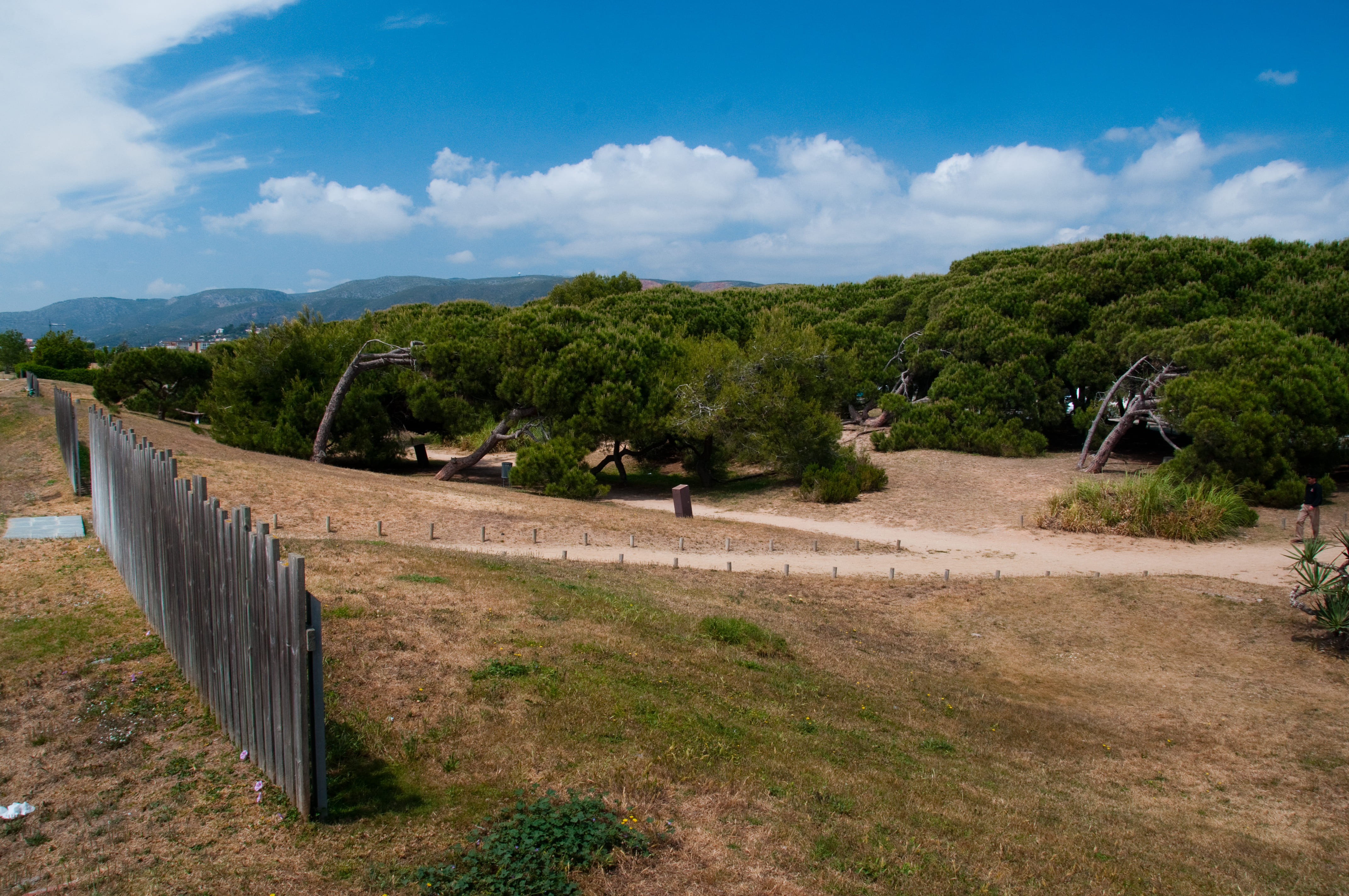
We will cross urbanised areas in Corbera, Vallirana, and Begues, separated by white pine forests in different stages of development due to past wildfire activity.
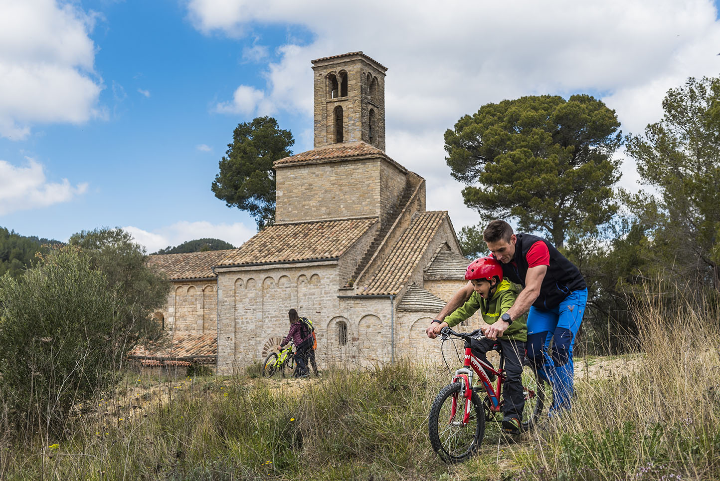
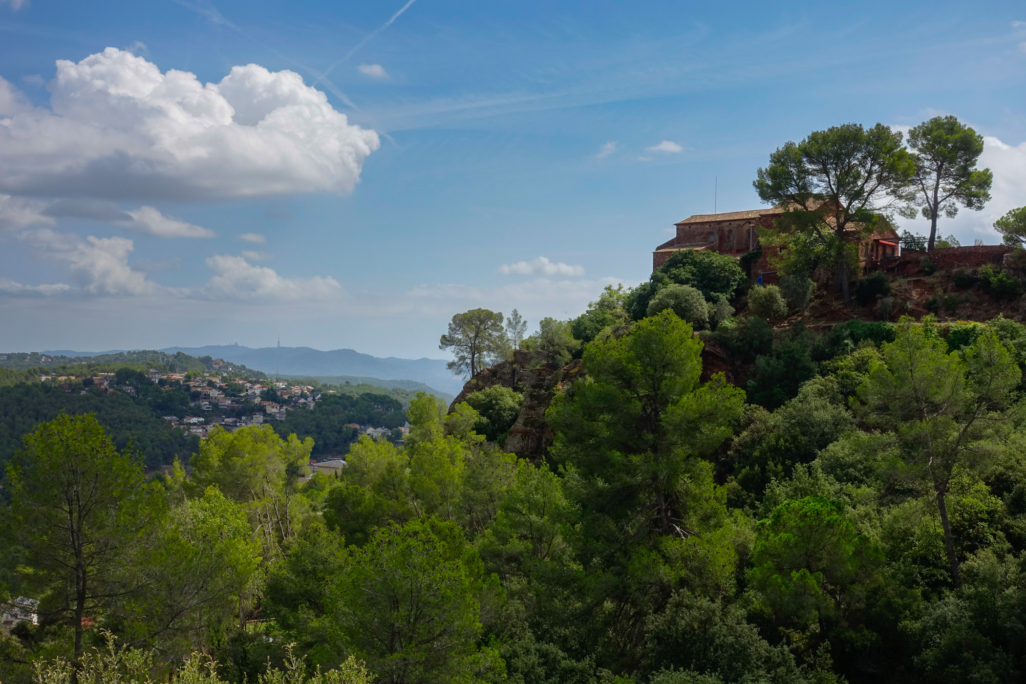
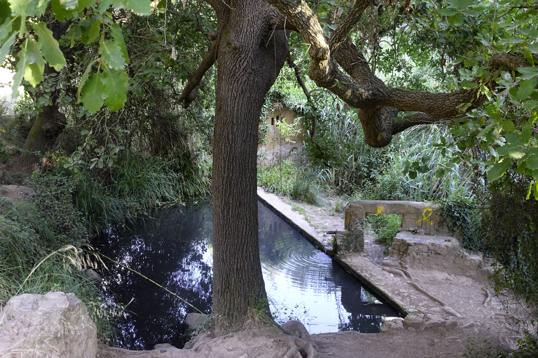
In Corbera, we will pass through the old town centre of Castell and l'església de Santa Maria. Then we will reach the beautiful site del Monestir de Sant Ponç, climb passing by the Font Freda (Cold Spring), and head towards Coll Verdaguer, above Vallirana. We will descend into the town and ascend the entire Can Bogunyà valley and the Vall d'Arús, formerly a breeding area for the booted eagle, to climb up to the Penya del Moro (467 m), where we will enjoy views of the areas of Sant Climent, Torrelles, and Begues.
We will descend to the agricultural plain of Begues, crossing the town and passing by l'esgésia de Sant Cristòfol, and head towards La Clota (an architectural ruin dating from the 14th century). From the pass of La Clota, we will descend to La Sentiu.
If you are on a mountain bike (BTT), we will follow the main track. A long and fast descent through the shaded side of the Perers mountain range, passing by some ruined farmhouses. This is the track known as the Camí dels Penitents.
For those of us walking, we will take a path, the GR 92, which was used to connect the area of La Clota with Eramprunyà and Bruguers without having to go around the back of Puig de la Desfeta (516 m).
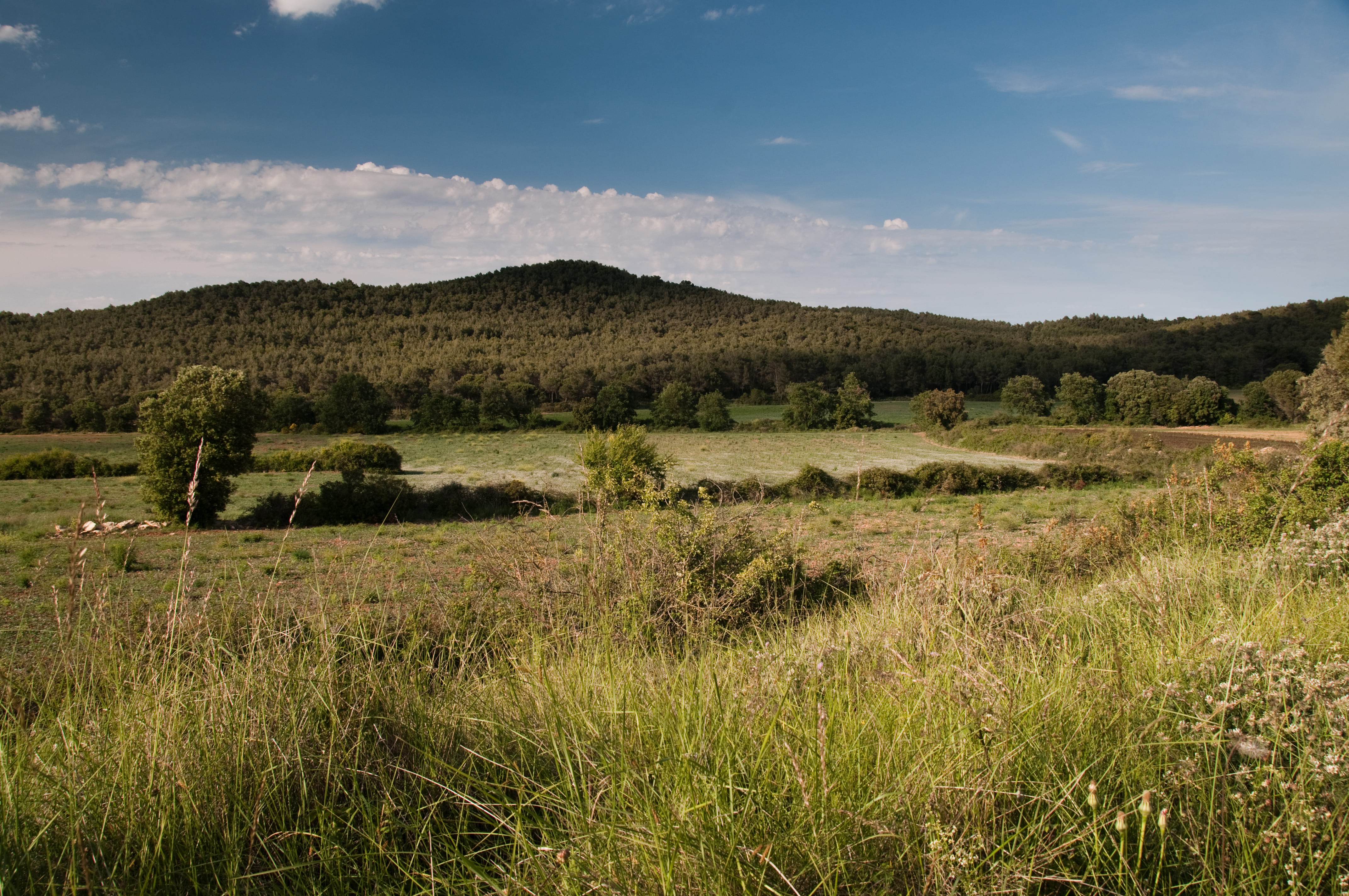
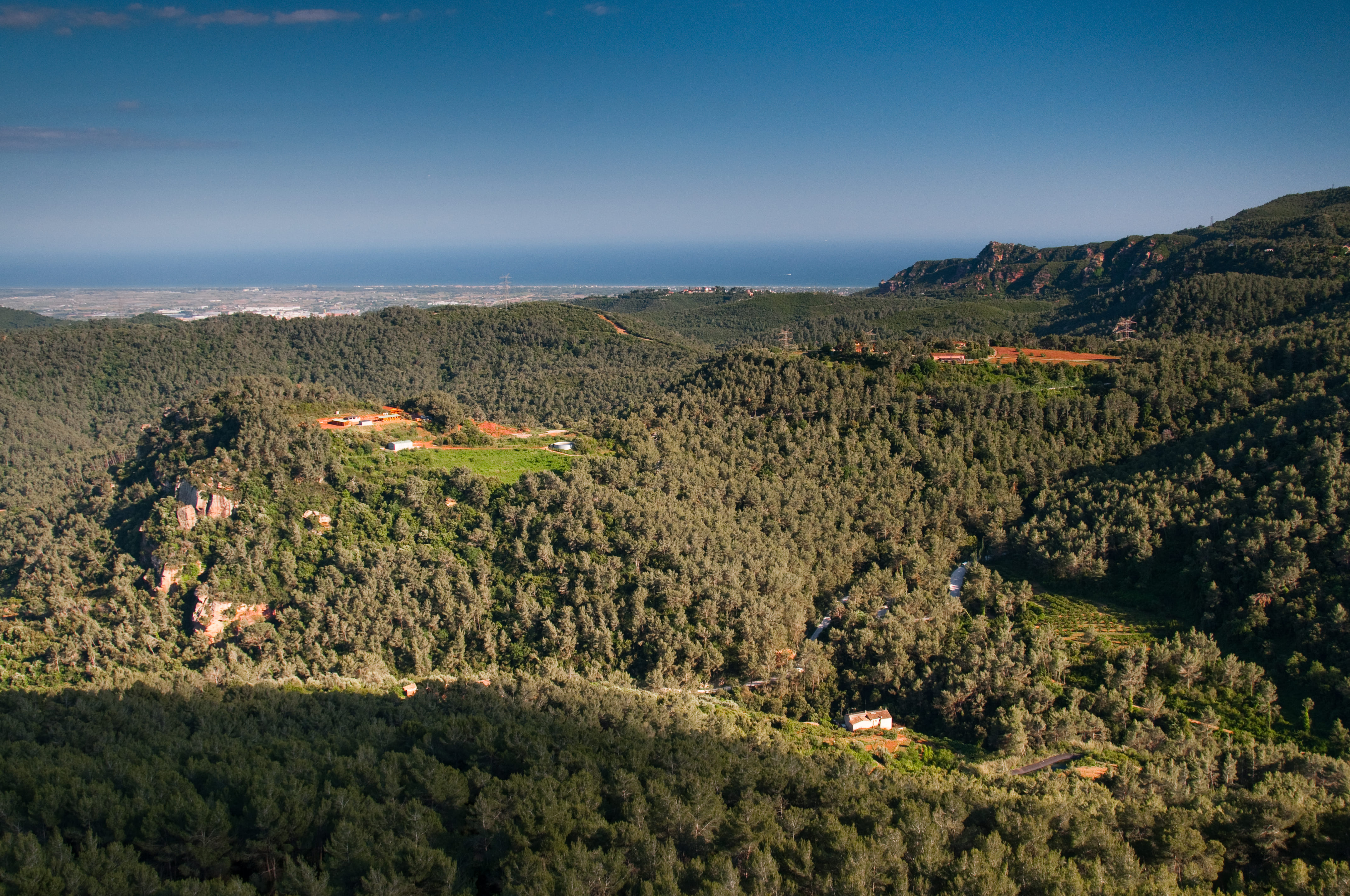
We are at the head of the Sentiu Valley. Once agriculture disappeared, pines began to colonise the space, and later, wildfires caused the shrubs to become the most abundant. The young pine forests, like the ones we have been crossing, are recovering the space above the shrubs.
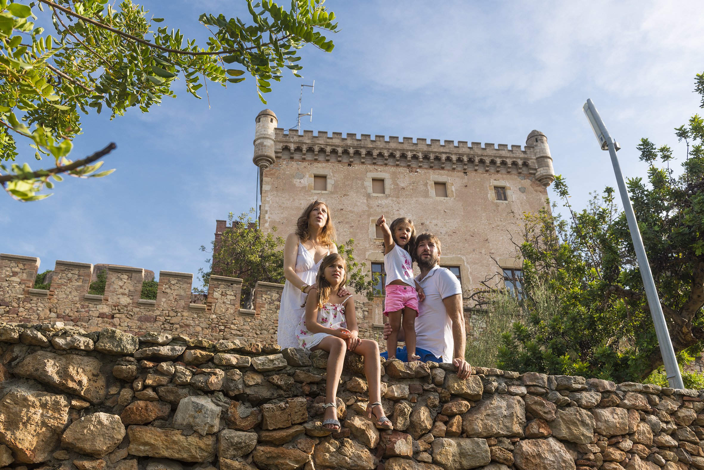
ON FOOT, after bypassing the Castell d'Eramprunyà, a sharp descent passing near the perforated rock will lead us to the Ermita de Bruguers, where we will take the comfortable track that descends towards La Sentiu, where we will reconnect with the track used for BTT.
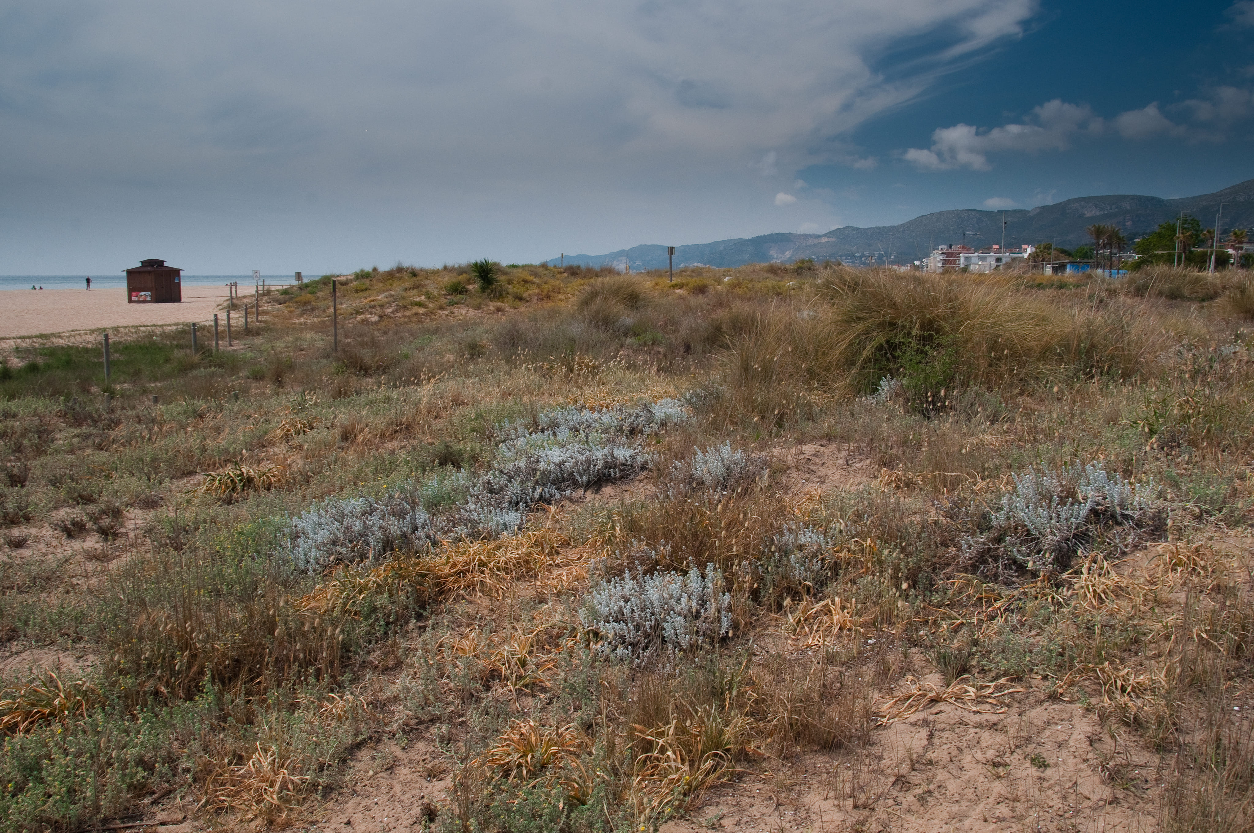
Now, through a patch of disturbed pine forest, we head towards the Castell de Castelldefels. We will then descend, crossing the town towards the plain, where any agricultural evidence of this corner of the delta has disappeared, except for some stone pine trees. Surrounded by the residential area and after passing the C-32 and C-31 roads, we will reach the Parc del Mar at Platja de la Pineda.
Technical sheet
Points of interest


ROUTE
- It is recommended to divide the route into two or three stages depending on your physical fitness level.
- The section from Monistrol to Corbera should be done with the EPO route, with the final destination being Viladecans, and when you reach Corbera, select the EPI route, with the final destination being Castelldefels.
- We will mostly follow tracks, with a smaller percentage of urban asphalted sections and trails.
- For mountain bikers (BTT), in Vallirana, the Can Bogunyà area, and the Moro side, there are some uphill trails that are not cyclable. Read through the possible variants proposed by NL, which you will need to visualise on the maps.
- In the towns, you may pass through some streets in the opposite direction. Be careful.
- There are steep but short ascents.
- If you have a general overview of the track, you may find possible shortcuts.
- The flags will guide you on the situation and direction to follow. If there are no flags at an intersection, continue on the main track and check the warnings on the mobile track.
- It’s better to download the route offline.
- Even though you will find trail signs such as GR or SL, don’t worry; it’s better to follow the track and flags. Camins del Baix Llobregat. Eix de Ponent (EPO).
- Save as much battery as possible on your mobile while navigating.
WATER
- There are fountains in the towns you will pass through.
PRECAUTIONS
- Motor vehicle traffic in urban areas and on some forest tracks.
- Pace yourself.
- Don’t forget to eat and, most importantly, drink.
- Respect private property and the natural environment.
- Don’t leave trash on the path.
- Watch out for flood-prone fords in streams if it has rained (Corbera, La Sentiu).
- There are long and steep descents, like the Camí dels Penitents towards La Sentiu, where you should control your speed.
WEATHER
- Check the weather forecast.
- Gloomy days may spoil this outing.
EQUIPMENT
- Comfortable bike clothing suitable for the season.
- Don’t forget safety equipment: helmet and gloves.
- Basic spares, especially to repair punctures.
- Camera and access to a map to know your location in case you need to find a shortcut.
OTHER EQUIPMENT
- When entering each municipality, you will find a route situation board.
- Along the path, there are poles with flags indicating your location, nearby points, and possible variants.