EPI on foot. From Corbera to Gavà.
REMINDER: It is recommended to divide the route into stages depending on your physical fitness level.
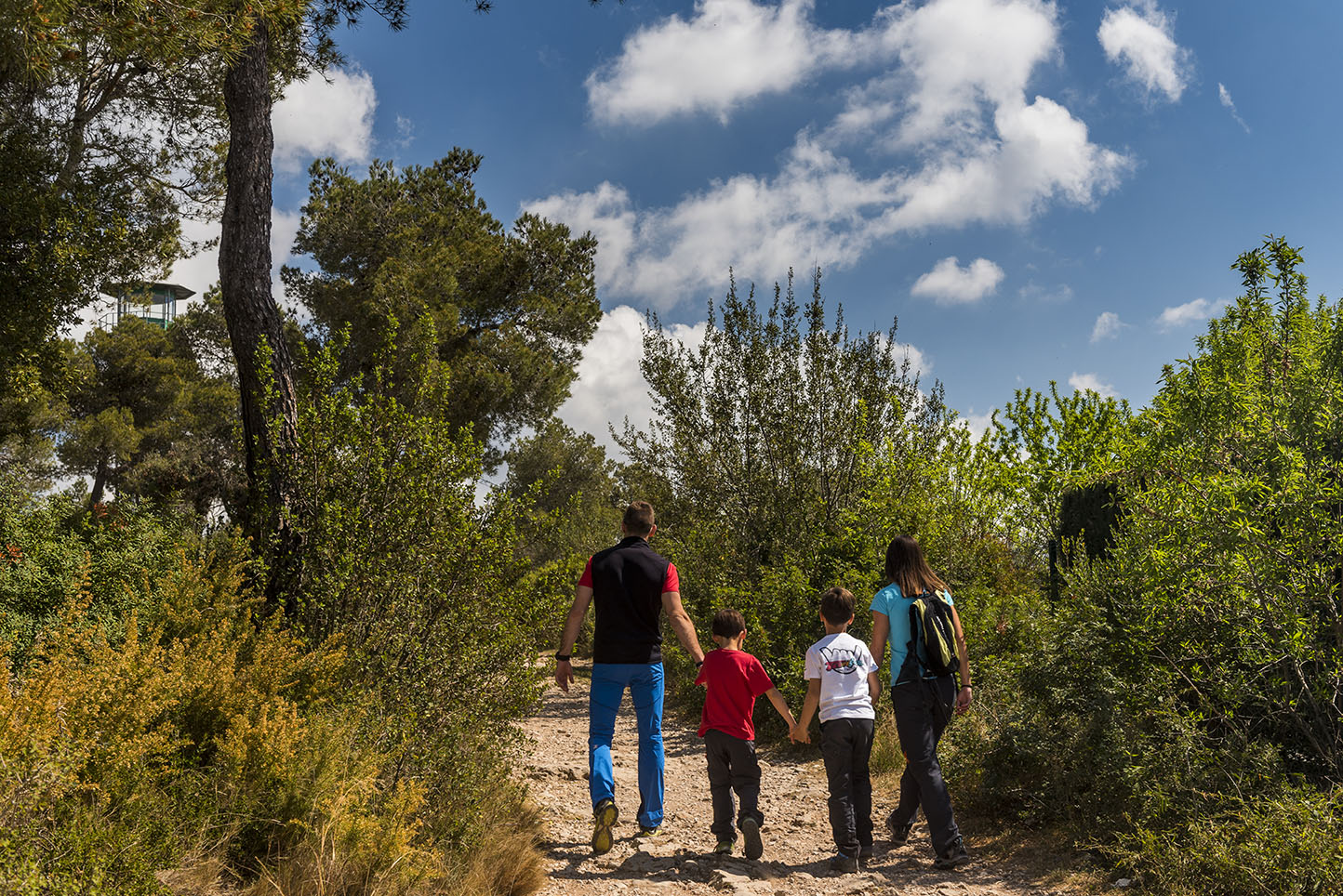
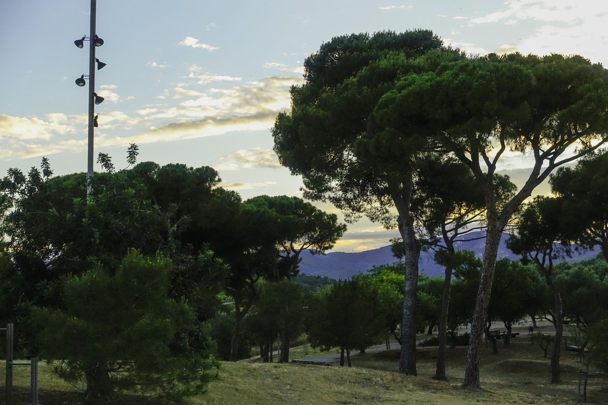
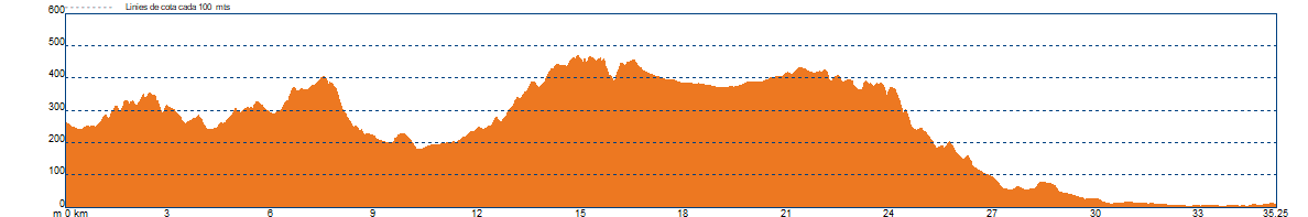
We will depart from Corbera. The agro-forestry landscape at the start changes completely, and now, once we’ve passed the vineyards of the Anoia valley, the forest cover becomes continuous all the way to the town of Castelldefels. In the Llobregat Valley, this mountain range is called the Muntanyes d'Ordal, and further west, touching the Penedès and extending to the sea, it is the Serra del Garraf.
This forest cover slightly changes in the shaded areas and streams, where oaks, holm oaks, and other deciduous trees take prominence. Here, the undergrowth of rosemary, mastic, and holm oak is replaced by scrub.
We will cross urbanised areas in Corbera de Llobregat, Vallirana, Begues, and La Sentiu, separated by white pine forests in different stages of development, the result of past wildfires.
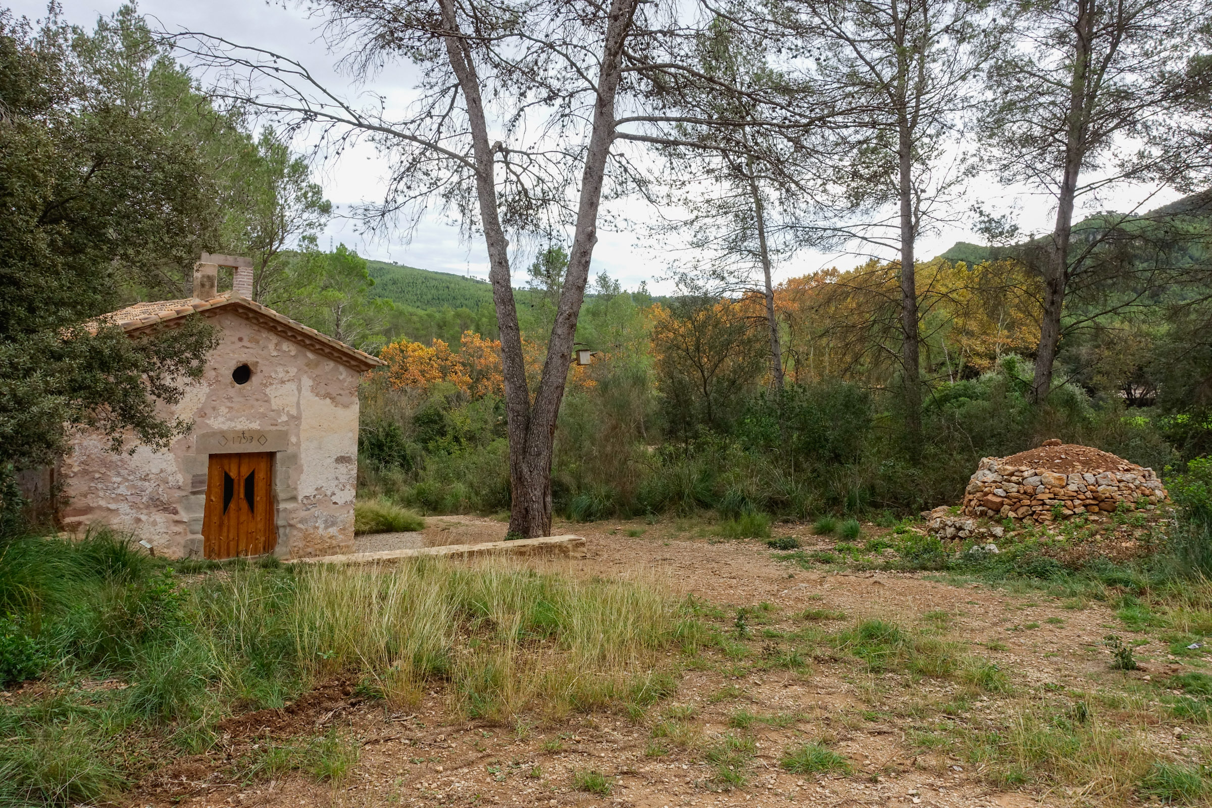
In Corbera, we will pass through the old town centre of Castell and l'església de Santa Maria, then arrive at the beautiful site of the Monestir de Sant Ponç. From here, we will ascend via the Font Freda towards Coll Verdaguer, above Vallirana. We will descend to the village and ascend the entire Can Bogunyà valley and the Vall d'Arús, which was once the breeding ground of the booted eagle, to reach the Penya del Moro (467 m), where we will enjoy views of the territories of Sant Climent, Torrelles, and Begues.
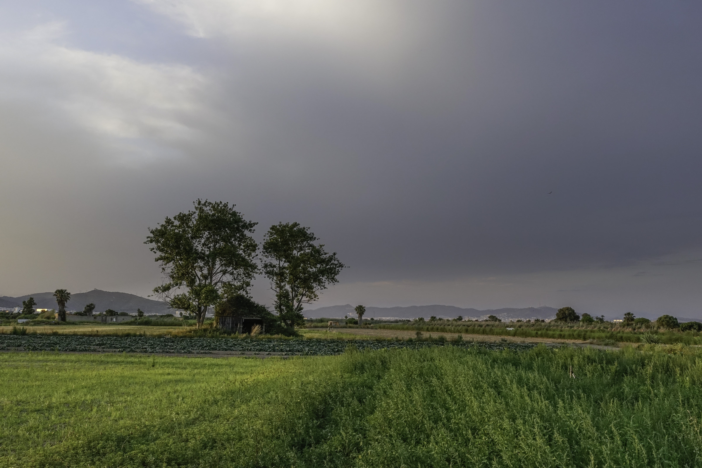
We will descend to the agricultural plain of Begues and, crossing the village past l'església de Sant Cristòfol, head towards la Clota (an architectural ruin dating from the 14th century). From the Coll de la Clota, we will descend to La Sentiu.
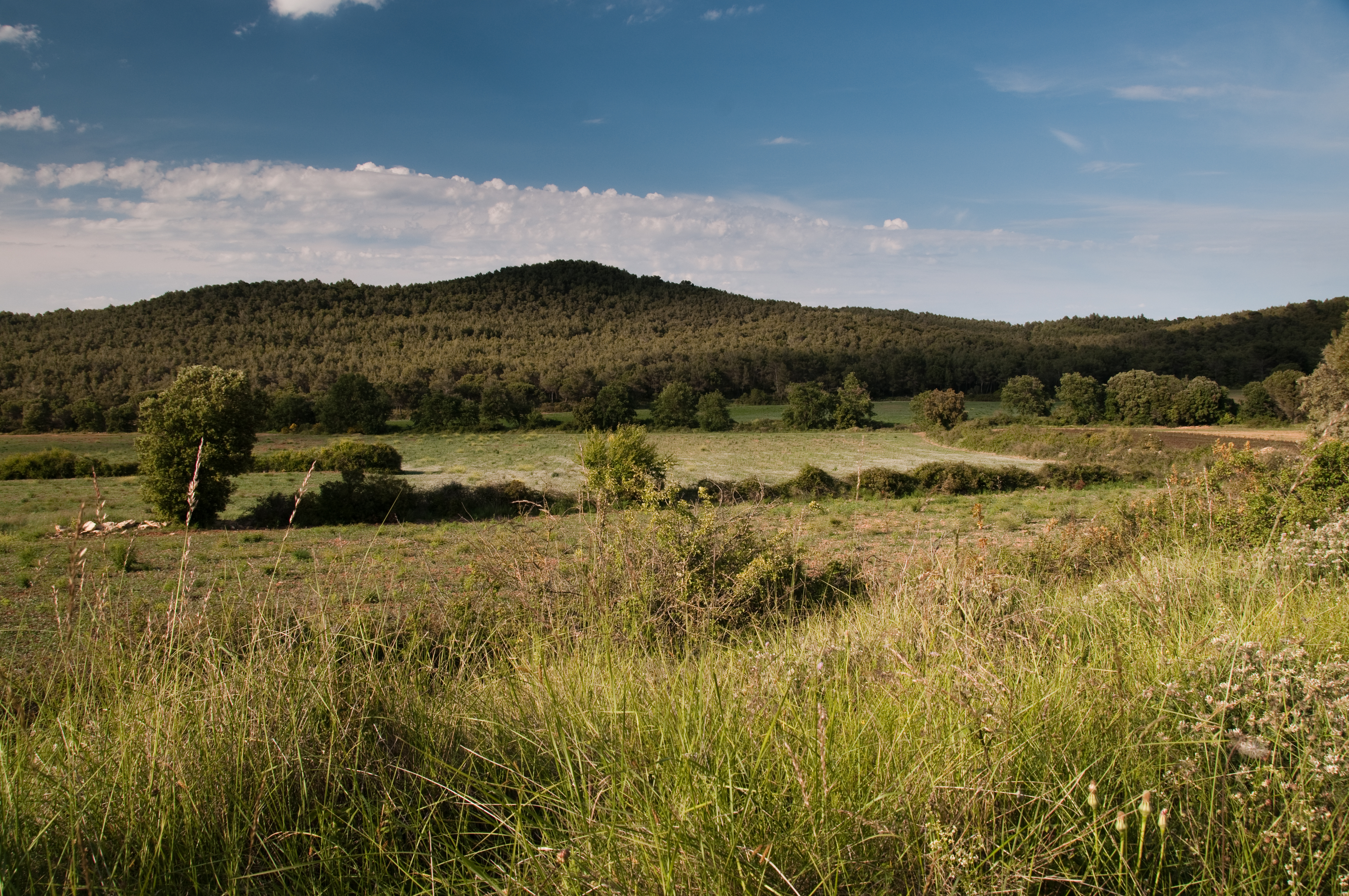
We are at the head of the Sentiu valley. Once agriculture disappeared, pine trees began to colonise the space, and later, fires made the shrubs the most abundant. The young pine forests, like those we’ve been crossing, are reclaiming the space above the shrubs.
On mountain bike (MTB), we will descend along the main track. A long, fast descent through the shaded area of the Perers mountain range, passing by a few ruined farmhouses. This is the track known as the Camí dels Penitents.
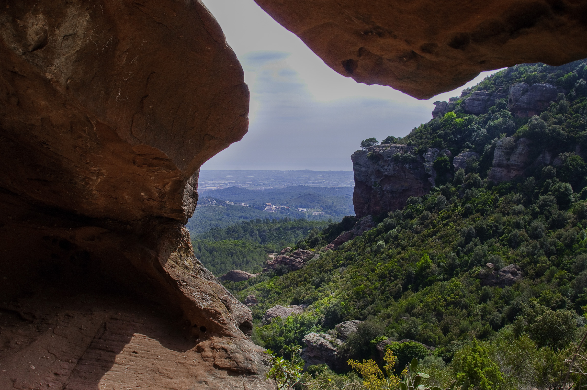
For those of us WALKING, we will take a narrow trail, the GR 92, which was used to connect the settlement of La Clota with Eramprunyà and Bruguers, without having to go around the back of Puig de la Desfeta (516 m). After passing by the Castell d'Eramprunyà, a steep descent that passes near the “hole-in-the-rock,” will lead us to the ermita de Bruguers, where we take the comfortable track that descends towards La Sentiu, where we will meet up again with the mountain bike route.
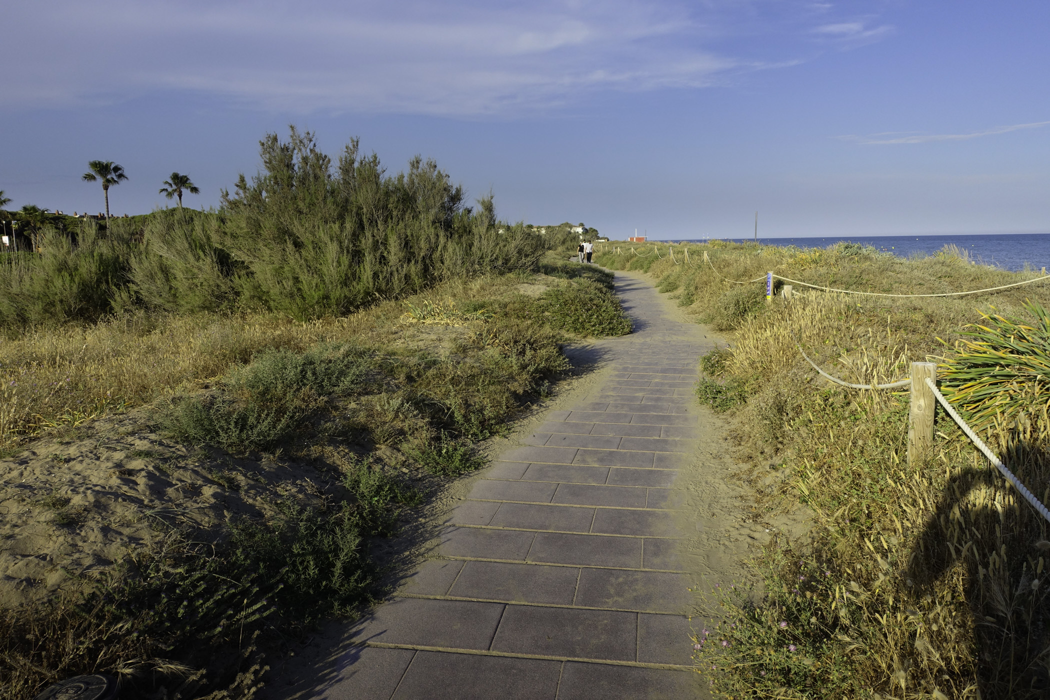
At La Sentiu, we will cross the road that connects Gavà with Castelldefels and skirt around the Pla de Queralt until we reach the height of the Firefighters Park, where we will cross the road again and head towards the Parc del Mil·lenni in Gavà. We will descend along the Av. de Joan Carles I, and after passing the Parc del Calamot, at the height of the petrol station, we will cross the road. We will continue until the underground passage under the train tracks and take the PR C-170. The first section through the industrial estate will gradually give way to the agricultural fields that make up the Parc Agrari del Delta del Llobregat.
When we reach the pine forest strip, the PR-C170 heads towards the Murtra ponds to the east. We will continue straight ahead, crossing the pine forest, elevated above the C-31, until we reach Gavà Beach.
Technical sheet
Points of interest


ROUTE DESCRIPTION
- It is recommended to divide the route into several stages based on your physical fitness level. Keep in mind that you will be walking at 4 km per hour, and for every 300 meters of elevation gain, you should add an extra hour of walking.
- The section from Monistrol to Corbera should be done via the EPO route, finishing in Viladecans. Once you reach Corbera, select the EPI route to finish in Gavà.
- We will mostly follow tracks, paths, and trails, with a smaller percentage of urban asphalted sections.
- In Vallirana and Begues, there are different variants depending on whether you are walking or cycling. Be aware that the cycling variants follow easier tracks, while the walking variants involve trails that are not suitable for cycling.
- The flag markers will guide you on the situation and direction to follow. If you reach an intersection and there are no markers, follow the main track and check the alerts on your mobile device.
- It’s better to download the route offline.
- Although we will find path markings like GR or SL along the way, don’t worry—it's better to follow the track and the flag markers (Camins del Baix Llobregat, Eix de Ponent (EPO).
- Save as much battery as possible on your mobile device for navigation.
- Variant: After la Sentiu, upon reaching the Firefighters Park, you can bypass the hill and Parc del Calamot on the western side (there is a new path that goes to the right towards the Ca n'Horta farmhouse). Alternatively, you can follow the track towards the Parc del Mil·lenni and descend on the eastern side, along the boundary of the built-up area of Gavà.
WATER
- Fountains are available in the towns you pass through.
PRECAUTIONS
- Pace yourselves. There are steep uphill trails.
- Pay attention to a small section of downhill trail towards the village of Vallirana and another one near Begues, towards the Castell d'Eramprunyà and the ermita de Bruguers.
- Motor vehicle traffic is allowed in urban areas and some forest tracks.
- Don't forget to eat and, most importantly, drink.
- Respect private property and the natural environment.
- Do not leave trash on the path.
- Watch out for flood-prone fords in streams if it has rained (Corbera, La Sentiu at the Fondo de Can Llong).
WEATHER
- Check the weather forecast.
- Gloomy days can detract from the experience of this route.
EQUIPMENT
- Comfortable footwear and appropriate clothing for the season.
- Sunscreen in summer.
- A small first aid kit for blisters and chafing wounds.
- Trekking poles can be very helpful.
- A camera and access to a map to know where you are in case you need to find a shortcut.
OTHER EQUIPMENT
- Upon entering each municipality, you will find a route situation board.
- Along the path, there are poles with flag markers that indicate the situation, nearby points, and possible variants.