PR-C 163 Ascent to Puig Vicenç


A circular route that takes us to the highest point of the municipality of Vallirana, where we will enjoy spectacular views over the Baix Llobregat and Barcelona.
The first part will be a continuous ascent to the peak, and then, on the way down, we will stop to explore various elements of Vallirana’s rural architectural heritage.
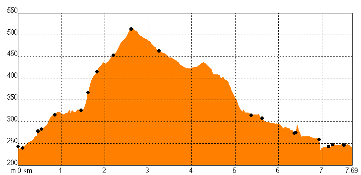
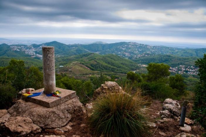
We leave the car and, 50 meters after the tarmac, already at the plain of Can Bogunyà, we head uphill on a red path surrounded by white pine trees and gorse. We now follow the path designated as PR-C 163 by the Centre Excursionista de Vallirana to reach the summit of Puig Vicenç. The path enters a scrubland with gorse and aromatic plants, leading us to the edge of the bosc Gran, where a small trail takes us up to overcome a small rock step at penya Rubí. After passing the water reservoir, we reach the ridge that leads up to puig Vicenç. From here, we can already see the valley of the Santa Maria de Cervelló stream. We climb the ridge all the way to the summit at 468 meters, offering a magnificent panoramic view.
We begin the descent along the serrat de Can Güell. Now, the forest has transformed as a result of the 1995 fire. A dense mass of white pine dominates, with an uncertain future unless some management is carried out. The most interesting plants can be found at the side of the path.
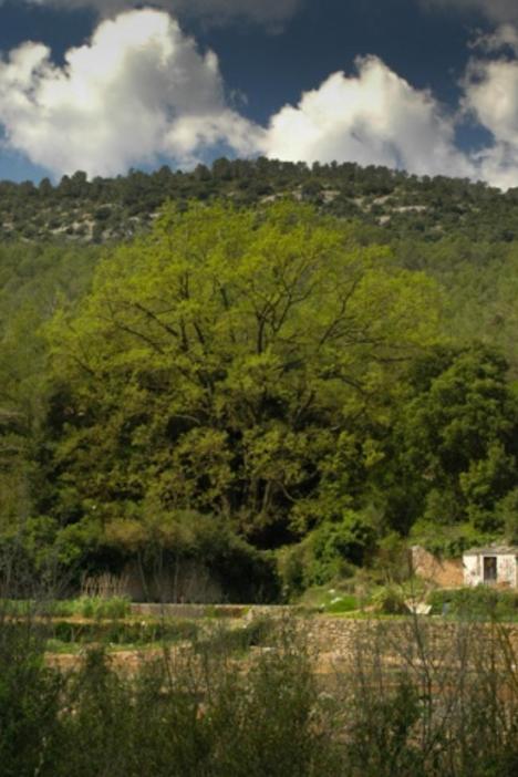
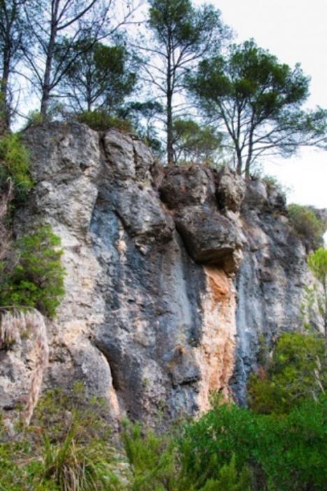
We descend towards the Vall d’Arús with views of the cliffs of the salt del Bou and the serrat del Mas. The path is full of wild boar tracks. As we reach the bottom of the valley, we will find the forn de calç (lime kiln), which has been quite well restored, as well as a couple of vineyard huts. Continuing downhill along the main track, we will arrive at the gypsum mine and kiln. Finally, just before crossing the stream, we can take a detour to visit the capella de Sant Silvestre, where we will find the stump of a large oak tree and a remnant of old orchards with a washhouse and all.
Images and source: Natura Local.
Technical sheet