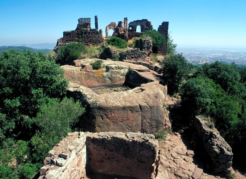
PR-C 39. Eramprunyà Trail
Certified in 1999, the promoter of this trail was l’Ajunament de Gavà through a project carried out by the l’Escola Taller La Sentiu. El Parc del Garraf was responsible for the signage of this trail and the publication of a leaflet. Maintaining entity: Unió Muntanyenca Eramprunyà del Garraf.
Starting point: Can Llong
This highly interesting, almost circular route runs through the Vall de la Sentiu, passing by prominent farmhouses such as Can Dardena, Can Vinyes, Can Pardal, and Can Flocant. It goes through the Magraner valley, the Can Perers mountain range, Can Tardà, Can Dardena, the Celler valley, and ends back at Can Llong.
Throughout the journey, we can observe the various landscapes created by the geological composition of the Garraf: the white Garraf, made of limestone with typical maquis vegetation like holm oak and dwarf palm; the red Garraf, composed of siliceous sandstones with vegetation typical of heather, strawberry tree, and rosemary; and the black Garraf, formed by schists and slates with vegetation of white pine and oak.
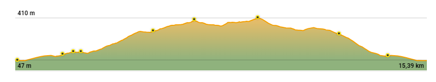
Technical sheet


We recommend wearing appropriate footwear and bringing water, especially during the warmer months. Binoculars will allow you to better observe the wildlife and enjoy the beautiful panoramas.